Urban road corridor — BIM + GIS
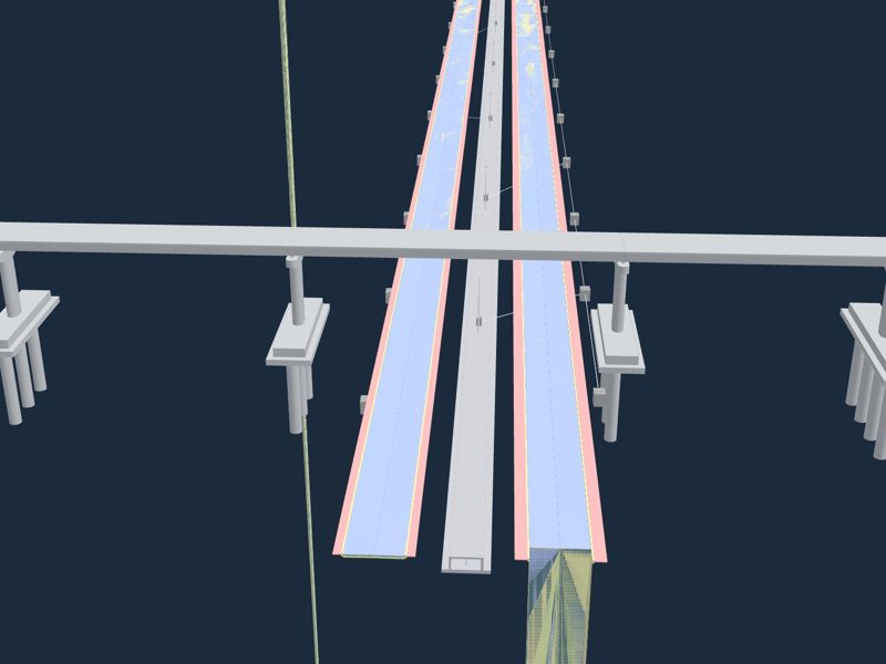
Capstone of a 136-hour BIM for Infrastructure program: GIS studies for a new urban road, then a federated model of the roadway, bridge, box culvert, sewer, water and street lighting.
10+ years delivering BIM for infrastructure — metro, rail, hydroelectric, highways and airports. Revit & Civil 3D modeling, BIM coordination, Scan-to-BIM and workflow automation with C#, Python and Dynamo.
View my workArchitectural, structural and MEP models in Revit, plus parametric family creation. Multidisciplinary model coordination, clash detection and issue tracking in Navisworks, and information management aligned with ISO 19650 (BEP, MIDP, LOD/LOI).
Civil 3D models for roads, drainage and hydraulic works. Point-cloud processing in ReCap and WebODM to build as-built Revit and Civil 3D models. Complete construction drawing sets in AutoCAD and Civil 3D, plus GIS data in ArcGIS and QGIS.
Custom C#/.NET plugins for AutoCAD, Civil 3D, Revit and Navisworks; Python (pyAutoCAD, pyRevit) and Dynamo scripts that cut drafting and QA/QC time. IFC tooling, BIM-GIS integration and Power BI dashboards for project reporting.
Metro and rail, hydroelectric plants, highways, airports, water treatment and urban drainage — from design phase through construction support.
Multidisciplinary model coordination (architecture, structures, MEP, civil), clash detection and issue tracking in Navisworks, MIDP and BIM execution standards aligned with ISO 19650, QA/QC and leadership of production teams.
Point-cloud processing in ReCap and WebODM, and as-built Revit and Civil 3D models built from laser-scan and photogrammetry data.
Corridors, hydraulic profiles, cross-sections and drainage networks in Civil 3D, and complete multidisciplinary construction drawing sets in AutoCAD.
C#/.NET plugins for AutoCAD, Civil 3D, Revit and Navisworks; Python, Dynamo and VBA scripts that cut production time; Power BI dashboards and BIM-GIS workflows.
Started in 2014 as a CAD drafter, then BIM technician and BIM professional coordinating large public infrastructure, and today BIM specialist building my own tools.

Capstone of a 136-hour BIM for Infrastructure program: GIS studies for a new urban road, then a federated model of the roadway, bridge, box culvert, sewer, water and street lighting.

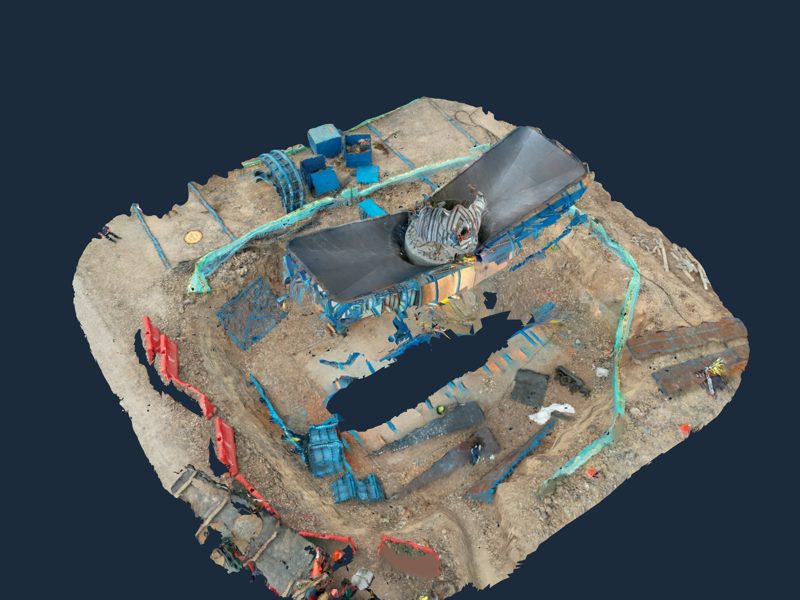
Drone photogrammetry of a formwork assembly: 151 images, 2.9 M-point cloud, 0.3 cm ground sample distance. Explore the textured mesh in 3D.

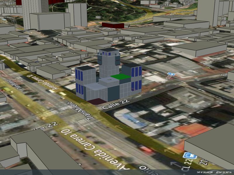
Georeferenced BIM model placed on 3D city buildings and satellite imagery to study massing and street relationships in central Bogotá.

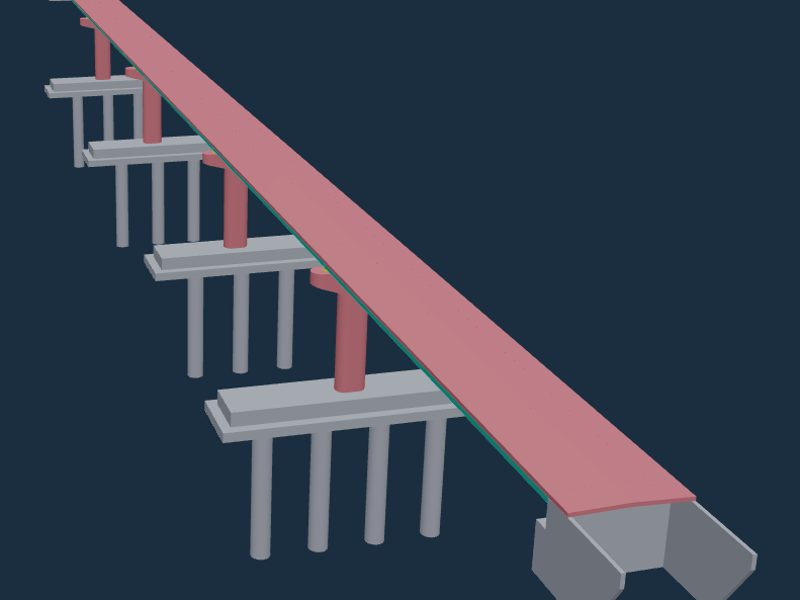
Complete structural model — piles, caps, piers, box girder and abutments — exported to IFC for coordination.

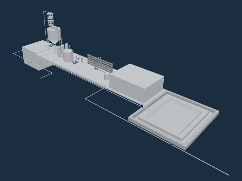
Process building, tanks, equipment and piping modeled in Revit with integrated MEP systems and clash coordination.

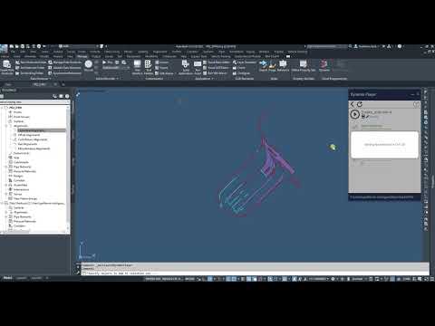
Dynamo graph that batch-creates named and styled alignments from polylines in Civil 3D.

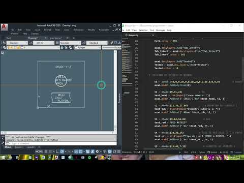
Python scripts that generate layers, blocks and drawing content in AutoCAD automatically.

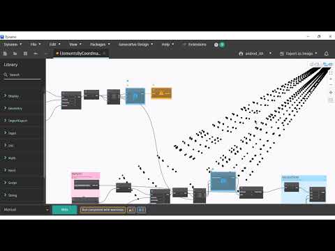
Workflow that connects ArcGIS geospatial data with Revit models through Dynamo.

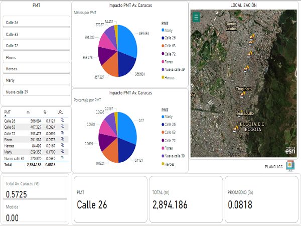
Interactive report with quantities, percentages and a map view for project monitoring.
¿Prefieres español? Descarga el brochure de servicios (PDF)
AutoCAD plugin that creates a numbered sheet for every frame drawn in model space — it clones a base layout and centers the viewport at the chosen scale, replacing hours of manual sheet setup.
View repositoryAutoCAD plugin that aligns existing blocks to a polyline or inserts them at regular intervals along it, rotated to the tangent — for poles, lights, signs and chainage marks.
View repositoryChecks IFC models for missing properties and data quality issues before delivery.
View repositoryDynamo graphs for Civil 3D and Revit that automate modeling and documentation tasks.
View repository
BIM Specialist | BIM Coordination | BIM Developer
I'm a BIM Specialist and BIM Developer based in Bogotá, Colombia, with more than 10 years in the AEC industry. I started as a CAD drafter and grew into BIM coordination on large public infrastructure — metro, rail, hydroelectric, highway and airport projects — working with multidisciplinary teams in Colombia and across Latin America.
What sets my work apart is that I combine production with development: besides modeling in Revit and Civil 3D, coordinating in Navisworks and turning point clouds into BIM models, I write my own C#, Python and Dynamo tools to remove repetitive work and raise quality. I'm also studying a Bachelor's in Architecture. I work in Spanish and English and I'm comfortable collaborating remotely with international teams.